
GEMESYS Defense Technology - Online Information
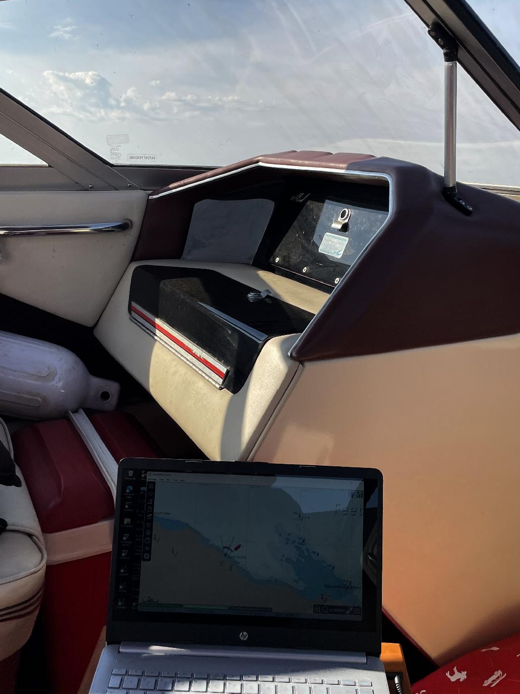
[ Testing the OpenCPN and ShareGPS open-source chart-plotting software, out on the Big Lake ]
This is a shot of the Windows-11 HP laptop, onboard my SeaRay, out on Georgian Bay, with OpenCPN running, connected to an Android tablet, which is running ShareGPS, and sending the GPS data to the laptop, for OpenCPN to display one's position. The little red boat on the OpenCPN display moves out into the water, and as I change headings, the little red boat on the screen reflects the change as expected. This technology has been around for quite a while - but it is expensive, and commercial chart-plotters duplicate equipment and technology that most folks already have. The GPS location information provided by the Android tablet and it's onboard GPS unit, appears to be accurate to a military-level standard.